
Professional Placement an Integral Element of the Meryl Williams Fellowship

An integral component of the ACIAR supported Meryl Williams Fellowship are opportunities for career development. Recently MWF Fellows Dr Raquel M. Balanay of Caraga State University, Philippines and Dr Glory Dee Romo from the University of the Philippines – Mindanao have taken advantage of the fellowship’s professional placement program at the highly recognised Applied Agricultural Remote Sensing Centre (AARSC) at the University of New England in Armidale, NSW.
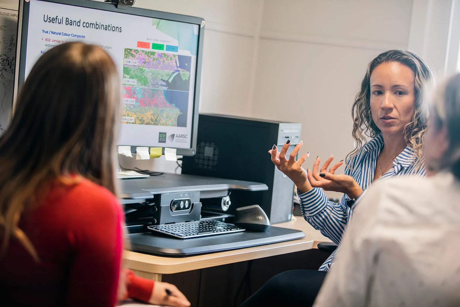
Dr Romo and Dr Balanay spent 8 weeks earlier this year working directly with AARSC Research Fellow Dr Luz Angelica Suarez-Cadavid on introductory and intermediate Geographic Information System (GIS) and remote sensing.
AARSC has developed manuals for professional development, that cater to individuals with little or no prior knowledge of spatial science and focus heavily on hands-on sessions allowing participants to independently follow steps and review concepts learned during lectures.
The use of free-access software to develop the training material eliminates any licensing or budgetary limitations and enables the trainees to continue using the software once they return to their home base.
Professor Rebecca Spence of the University of New England, Director for the Meryl Williams Fellowship who also organises their professional placements felt that connecting the researchers with the AARSC was an opportunity not to be missed.
‘The AARSC leads and collaborates on dozens of remote sensing projects across various horticultural industries domestically and internationally and been awarded for their significant contributions in mapping resources and tools.
Bringing Dee and Raquel together with the AARSC to develop skills they can immediately implement into their research areas back in the Philippines is a tremendous success that compliments the MWF leadership and management training’.
On the process of learning how to navigate the various cutting-edge applications which provide satellite and aircraft captured imagery Dr Romo shared,
‘Since the manuals are designed in such a way that we need to do the first steps right before proceeding to the next step, we know right away if we are on the right track.
I am amazed at the images produced from the combined use of Google Earth Pro, QGIS, and remote sensing and the analyses that could be derived from these images.
Since some remote sensing platforms have been around for decades, it is possible to compare images at different times resulting in richer comparative analyses. I am hoping I can apply this in other cases particularly in the Philippines.’
In addition to applications in agriculture and development, Dr Balanay considers the potentials for GIS mapping in disaster and risk management, something that could save lives in the event of flooding or other natural disasters in her areas of research.
‘GIS and remote sensing are interesting because it has a much broader coverage in analysis, enabling change analysis through time and space, which is important in strategic decision-making. I am fortunate to learn GIS and remote sensing with Angelica and Dee, it has been an enjoyable experience for me. GIS and remote sensing applied to agriculture and sustainable development context are impactful. Both allow macro and comprehensive analysis in that research context, which enhances the meaning of research results generated through econometric tools.’
Beyond the direct impact of learning new skills, expanding the network between researchers in the Philippines and Australia is a central objective of the career placements. While in Australia for the placement, Dr Romo and Dr Balanay were also able to meet with Professor Armando Apan of the University of Southern Queensland, Toowoomba and develop concrete plans for future collaboration.
Dr Romo and Dr Balanay are in the process of submitting two research proposals along with Dr Suarez-Cadavid and Dr Apan. The first to the government in the Philippines on the analysis of agri-supply chain logistics via GIS and remote sensing which can inform specific policy recommendations.
The second a project located in the BARMM region (Bangsamoro Autonomous Region in Muslim Mindanao) a region brokered through the peace agreement between the Philippine government and the Moro Islamic Liberation Front (MILF) that looks to enable mechanisms to integrate the ex-combatants to civilian life using GIS and remote sensing as well as social and participatory research methods. Gender Equality, Disability and Social Inclusion (GEDSI) will be a cross-cutting theme in this study.
On this further collaboration Dr Suarez-Cadavid shared, ‘One of the objectives of their professional placement was to strengthen their networks. We have identified in a multidisciplinary, multi-institutional and international team, to work together in projects that drive sustainable agricultural development and have significant social, environmental, and economic impacts in marginalized regions of the Philippines.’
The prestigious ACIAR funded Meryl Williams Fellowship supports female agricultural researchers across the Indo-Pacific to improve their leadership and management skills.
The Fellowship contributes to more secure food systems by providing women in agricultural science with greater access to resources and decision making, building collaborative networks, supporting career advancement, and driving institutional progress towards gender equity.
